 Here are the photos from our epic three week tour visiting family in New York state and Massachusetts. The theme of this trip was waterfalls, history and family. We started our trip in Buffalo and ended in Boston. Along the way we visited Albany, Hartford, Providence, Boston and Augusta so Z could connect with several state capitols he learned last year in 5th grade. We also stopped at many historically significant sites including revolutionary war battlefields, forts and, well, all of Boston. We even added a few days to our trip so we could visit Acadia National Park over the July 4th weekend. Bar Harbor and the park were beautiful, but crowded and extremely expensive. I've organized the photos and video clips into site-specific folders to make the 800 photos from 22 days a bit less-daunting. Enjoy!
0 Comments

Steve and I made a very early season attempt at getting to Anna Lake at 10,575' in the Hoover Wilderness hoping for some unfrozen shoreline to fish. The Little Walker river was exceptionally high and impassable at the trail crossing. Hydraulically-speaking, it is a terrible place for a stream crossing, right at a knickpoint of gradient change. Since the canyon became impassable on the east side of the canyon several miles upstream, we had to bushwhack through and around nearly a mile of dense aspen thickets to find an area with a gentle gradient where the river split into two sections.

We found a sketchy downed tree to cross on the way in and on the way out we crossed upstream of the downed tree near low flow of the runoff cycle (about 11am) which was still crotch-deep.

Our Basecamp was about a mile shy of Anna Lake trail spur. We ventured on a day hike to Anna Lake on day two and the trail after the cairns was quickly lost due to snow and runoff, so we XC'd nearly the entire way. The last several hundred meters to the lake was still covered in large amounts of snow in valleys and the lake was entirely frozen but had some melt ponds atop the ice near the southeast side of the lake.

Geology was amazing and the birdsong was stupendous. Saw several large bear tracks (with claw marks) in the mud, and several mountain lion tracks in the snow-covered parts of the trail. Fishing was only possible in eddies behind large boulders or fallen trees and several small brookies were landed on my tenkara rod. Flatiron Butte is perhaps the most breathtaking mountain outside of Yosemite.
PLEASE view the complete photojournal for all the details! 
 Laura, Z, Grandma H and myself drove up to to the snow-free elevations of HWY 108 with high hopes of seeing the expected auroras caused by a massive G5 solar flare. Once we arrived at the cabin, we saw the KP Index numbers soar past 8 (on a scale of 9!) and we knew we'd be in business. I had scouted a spot near Bald Mountain that was composed of Mehrton Formation volcanic lahar. The cement-like lahar had very few trees and a perfect ridge-top unobstructed view to the north. We ate a big dinner, packed the blankets and headed up the hill around 9:30 pm. Much to our surprise and amazed delight we could already SEE the aurora without the cameras. It wasn't quite as vibrant as through the lens, but it was still awe-inspiring. Just after 11:00pm the color just exploded and visible pillars were streaking across the northern horizon. We litterally gasped and exclaimed for nearly 30 minutes. We then headed up to Pinecrest Lake (I got greedy for reflections in a lake) and saw a much more read and purple sky that sometimes glowed green at the very bottom. It was the first time in all of our lives we'd seen the northern lights, and we didn't even have to go to Iceland or Alaska! What a perfect, perfect night. 
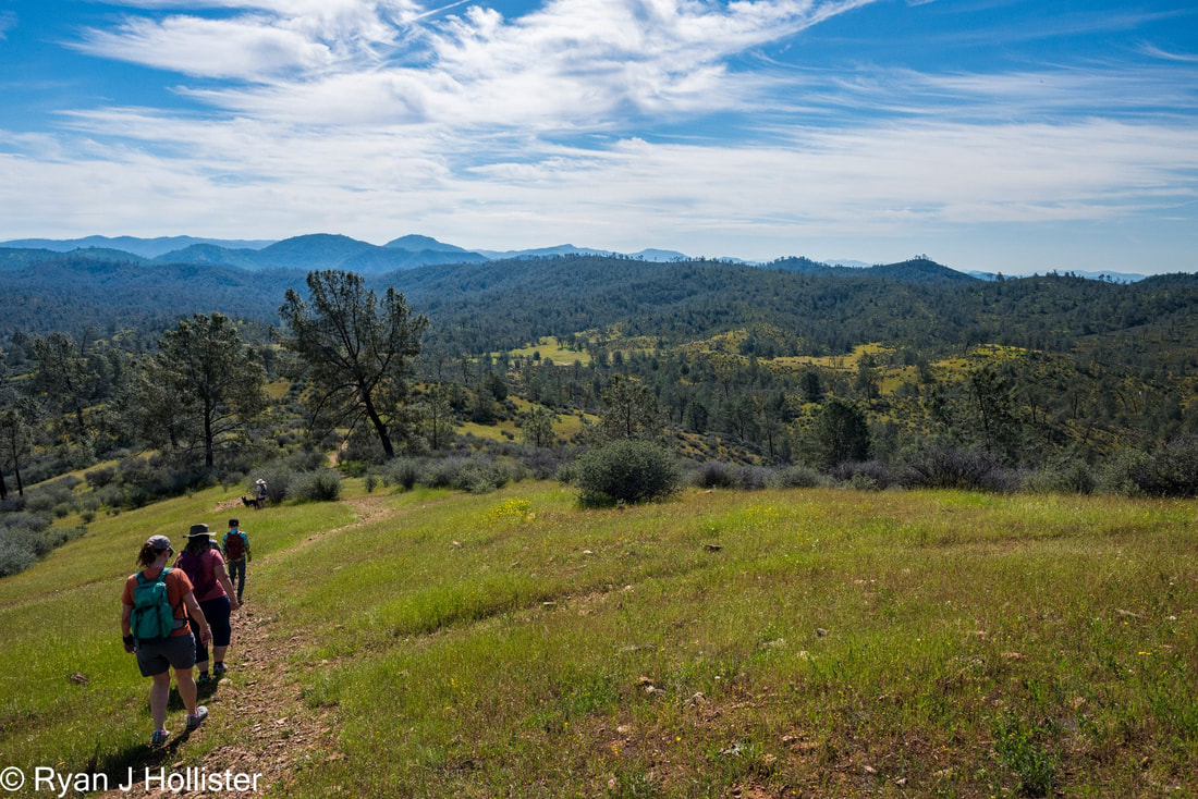
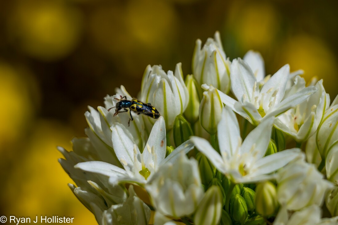
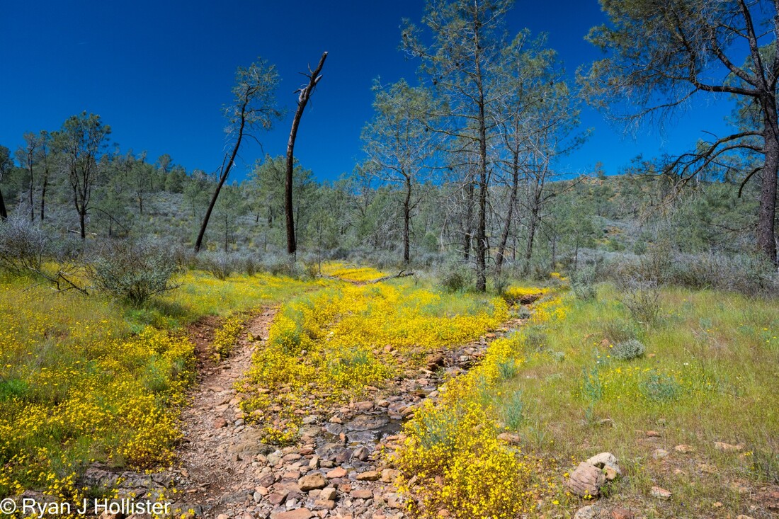
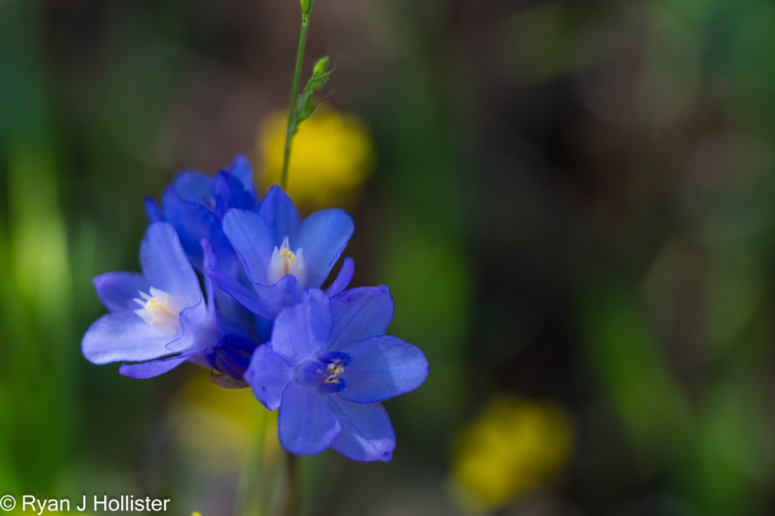
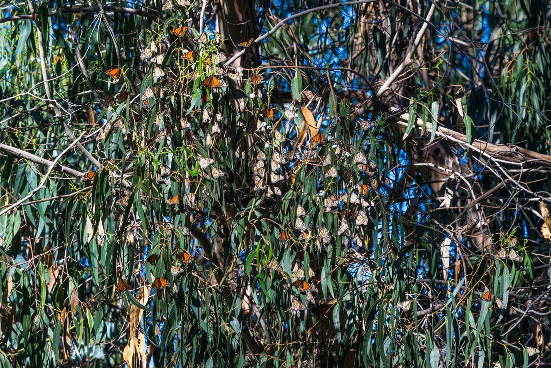
The theme for 2023/24 winter and spring has been one of consistent weekend storms. The just-above-average yearly totals spread out so evenly made this an epic year for wildflower blooms at the Red Hills Area of Critical Environmental Concern. We enjoyed a mid-April four-mile hike with our friends Julie and Jill and their doggo Fritz. The nutrient-poor serpentine soils only allow specially-adapted plants to grow in these hills. Several of the larger ephemeral streams were still running well for this time of year, but many of the smaller ones were merely damp under their rocky channels. The dampness made for an explosion of monkey flowers! In total we saw more than 20 species of wildflower!
Be sure to check out Geotripper's great geology summary of the area, then check out our complete photo album from the hike!
A quick weekend Spring Break trip for us over to Monterey since I don't get Spring Breaks at MJC. It's pretty amazing how much exploring can happen in a weekend! We were also blessed with extremely low tides tp explore Asilomar and Monterey State Beaches. Enjoy the photo albums! 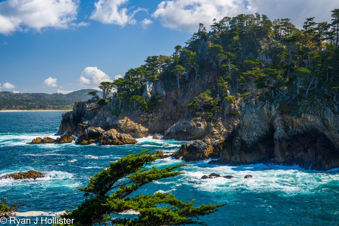 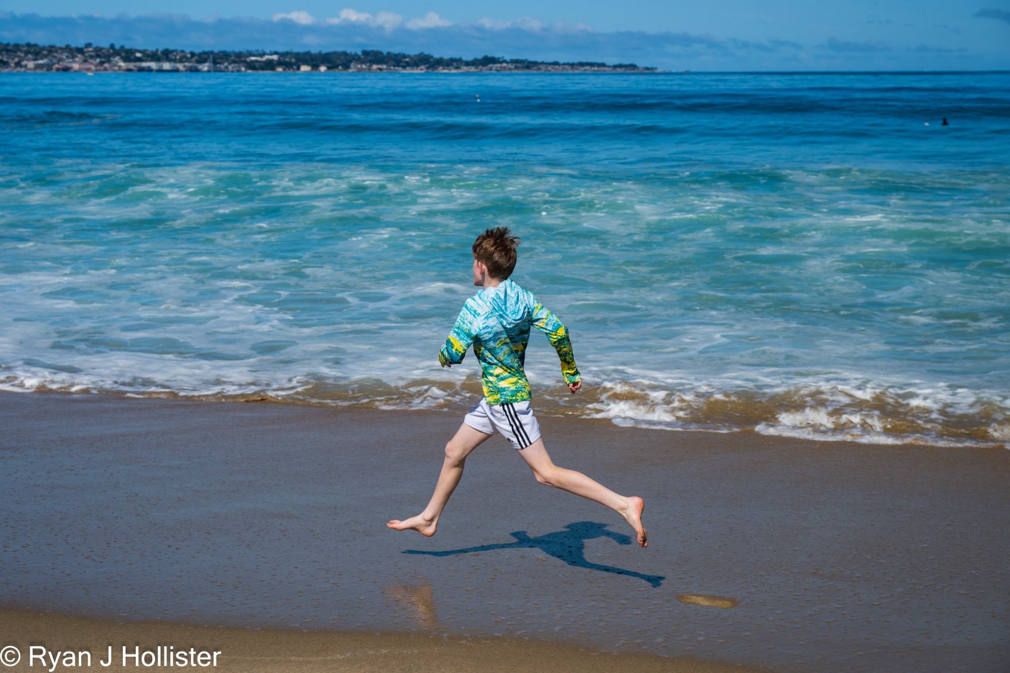 Z runs on the beach with a beautiful teal water behind him. 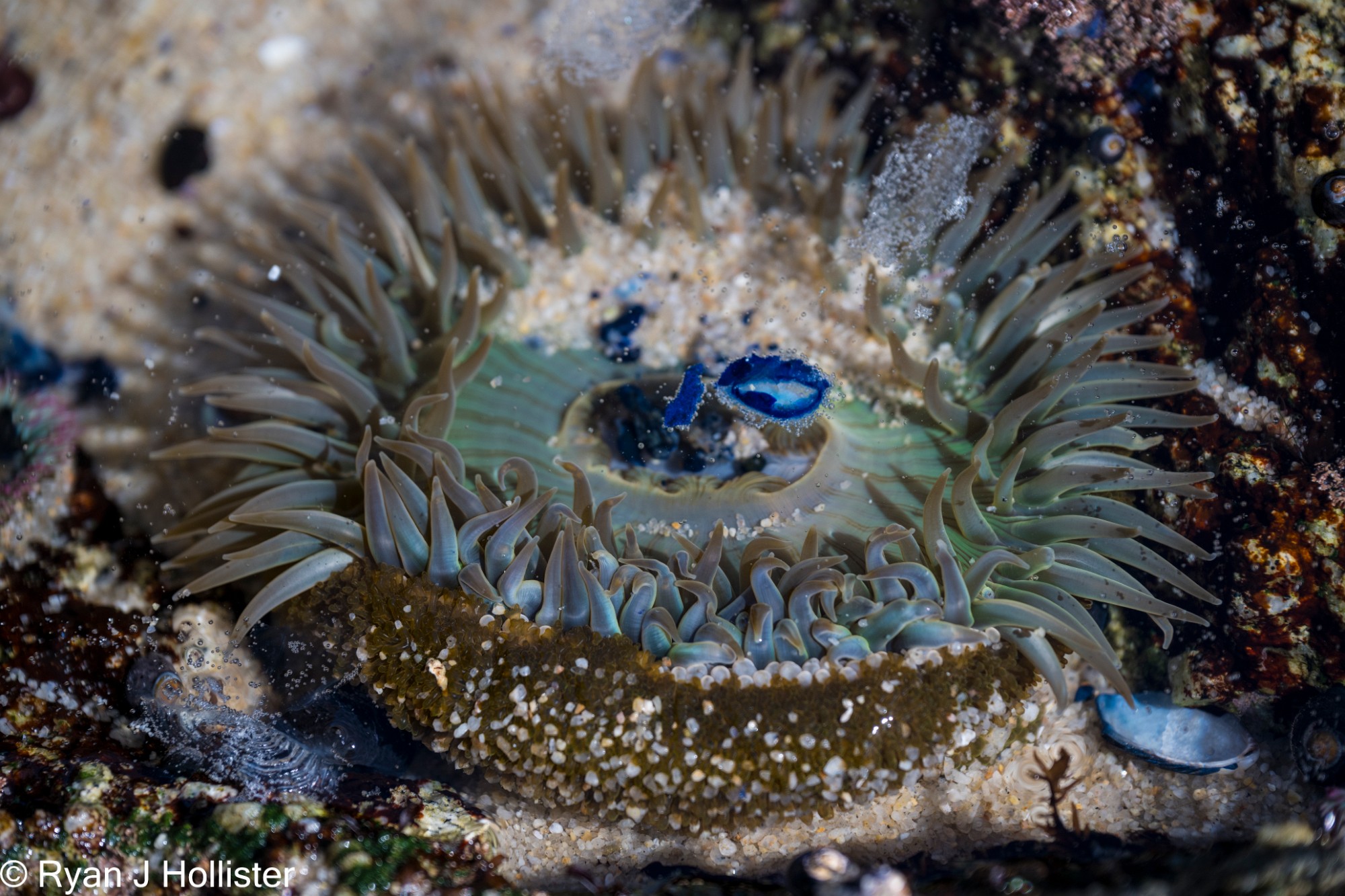 Anemone at Asilomar State Beach tidepools.
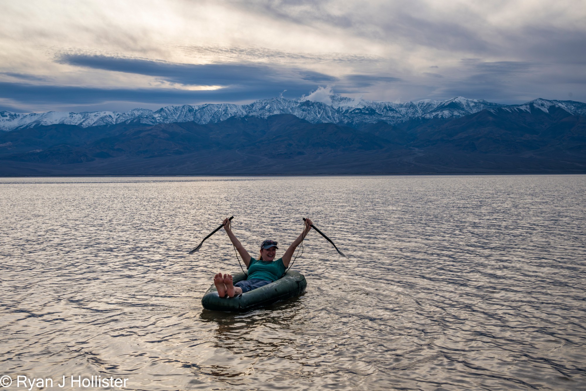
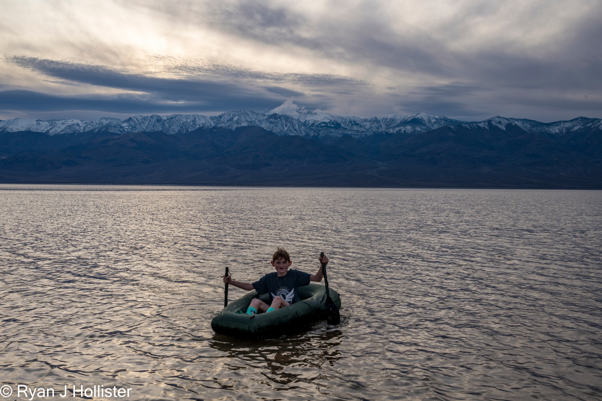
The 2024 MJC Death Valley Trip was all about water, clouds, wildflowers and fairly miraculous weather. Laura and I returned to one of our favorite places on Earth with birthday-boy, Zephyr and 15 of Garry Hayes' awesome students. Outside of an unscheduled trip to Pahrump, the trip was perfect. I brought my packraft and we were all able to float on a resurgent Lake Manly before news got out and it became the Cool Thing to Do in 2024.
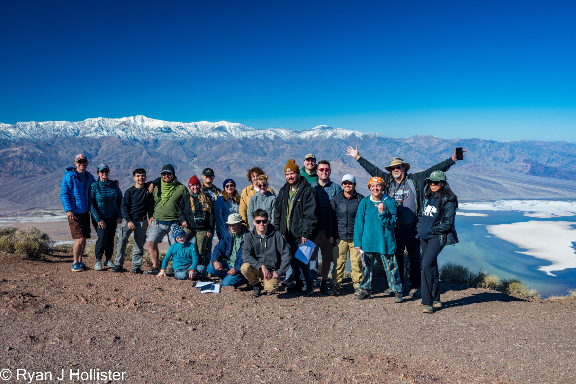
Groupshot from Dante's view overlooking Lake Manly.
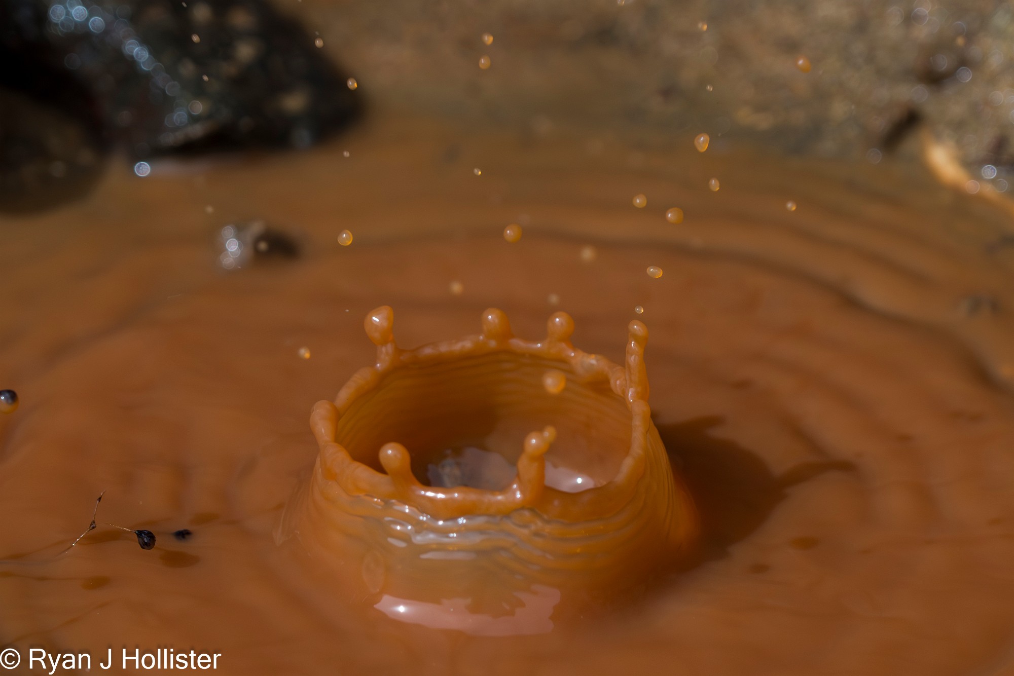
Small, sediment-laden water droplet at Red Rock Canyon State park fell into a shallow puddle about 8" wide and creates a splash crown.
500-Megapixel High Resolution Photospheres.
I field-tested some of the capabilities of my new Nodal Ninja MECHA robotic head. Each 360 image is comprised of 31 images taken at 24mm. They were stitched together using PTGui and this rough-draft tour was made using 3D Vista Pro. Please explore the Trona Pinnacles and diamictites from the Kingston Peak formation by dragging the image and be sure to take advantage of the zoom! Gigapixel photospheres are in the works!
Zoomable Panoramas
Here are several hand-held panoramas that you can zoom into for your viewing pleasure. Lake Manly pano consists of ten photos, and Resting Springs Pass panos contain five or six.
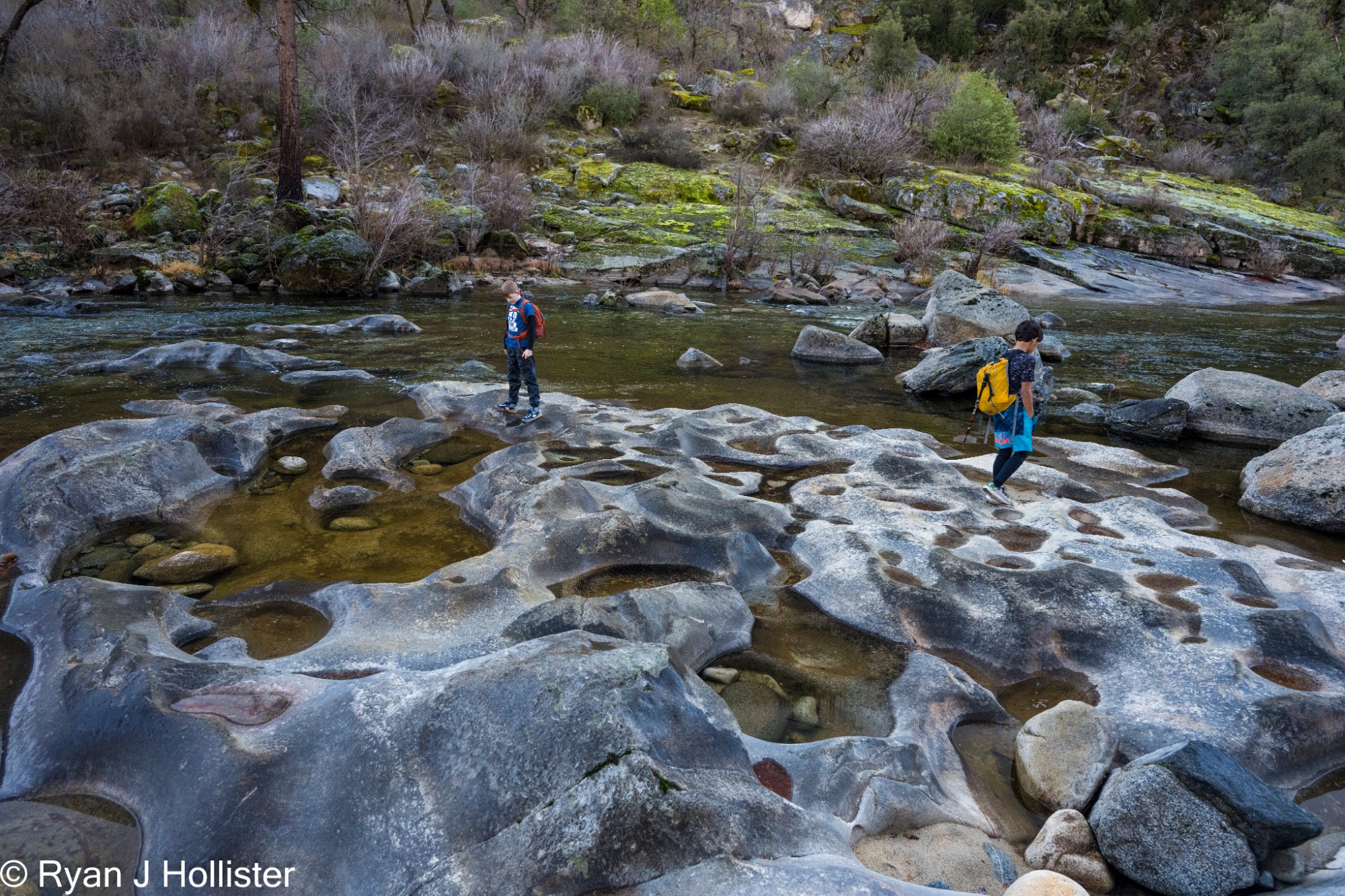
A great day hike along the Tuolumne river several miles west of Hetch Hetchy during an anomalously dry and warm January day!
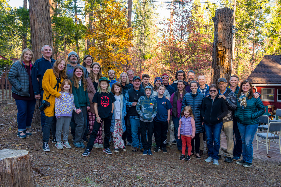 A small gathering of Laffins for the 2023 cabin tradition! 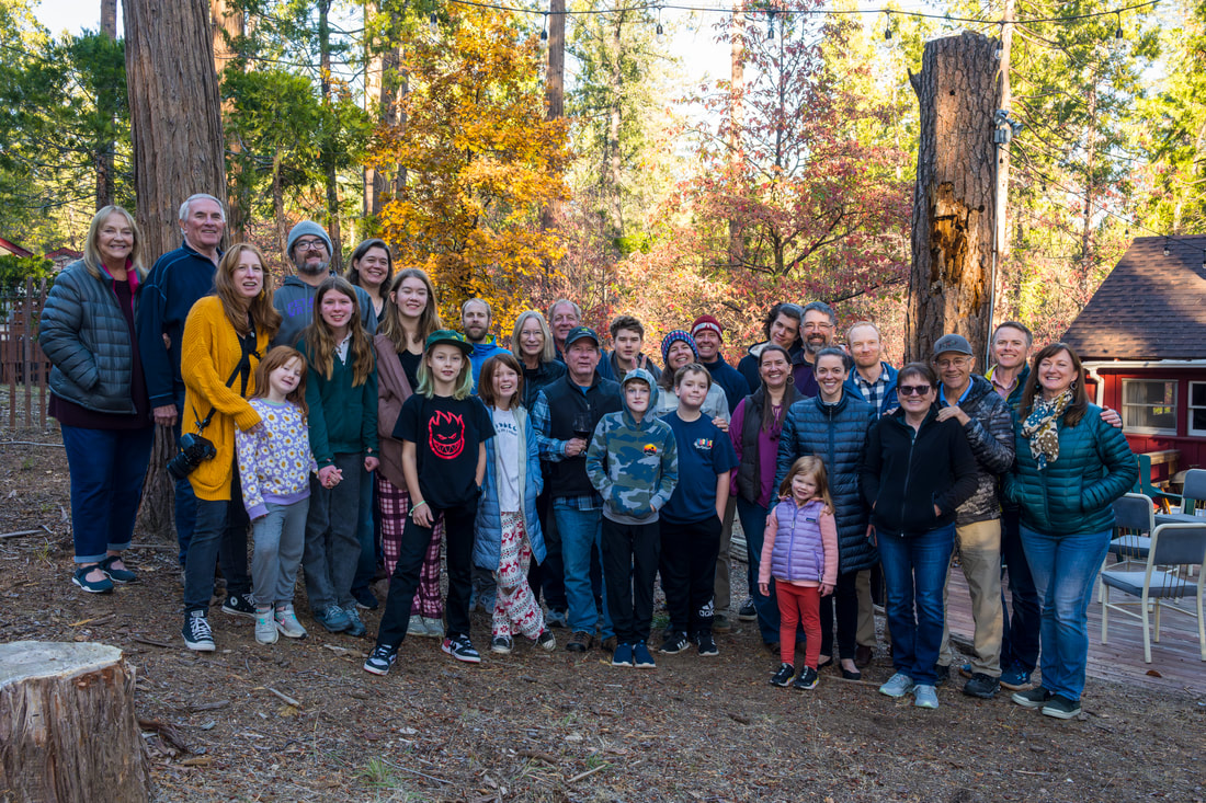 Bunny ears edition.
IIt's become somthing of an annual tradition for us to take my mom to Yosemite for an afternoon of strolling around the valley capped with a camp stove soup dinner in Ahwahnee Meadow. This year didn't disappoint! 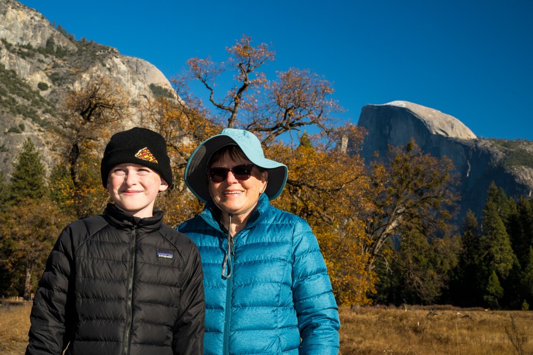 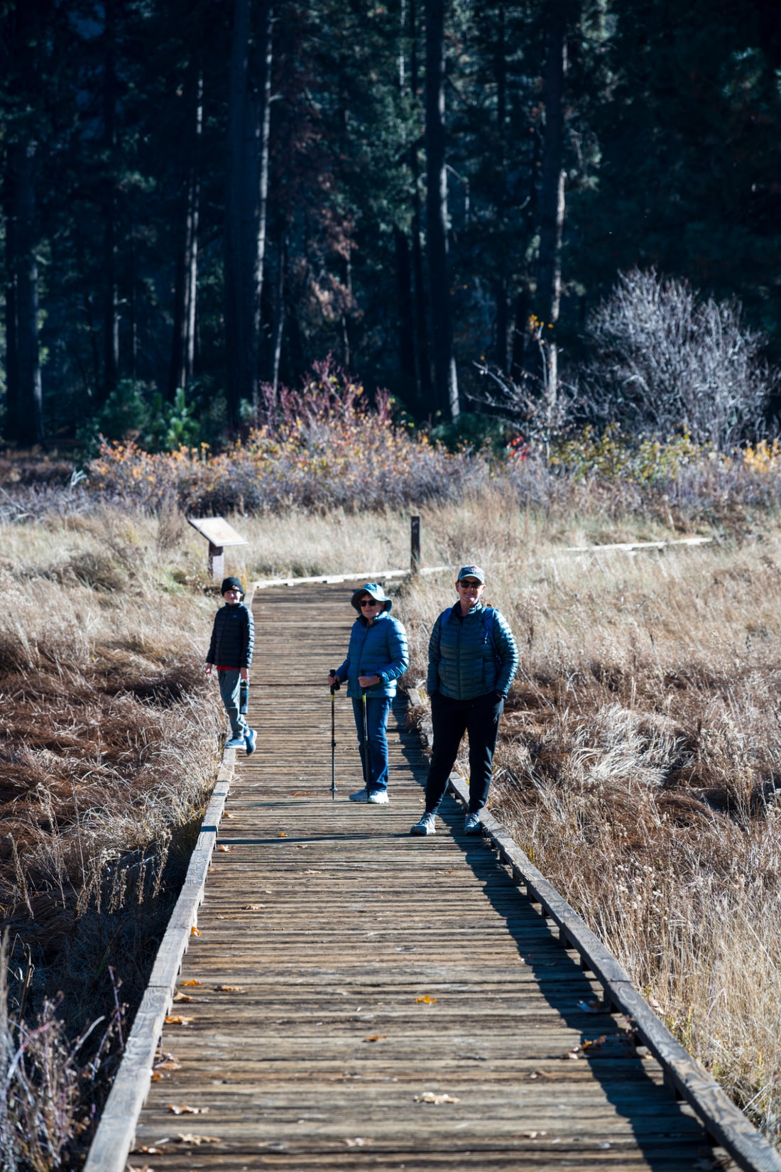 |
Archives
June 2024
AuthorRyan J Hollister - Geoscience & EnviroSci Educator, Avid hiker, Landscape photographer, WildLink Club Advisor, Central Valley Advocate. |


 RSS Feed