A compilation of amazing visualization, modeling and forecasting tools for the geoscience and environmental science student and enthusiasts. I use many of these each day. Sometimes too obsessively.
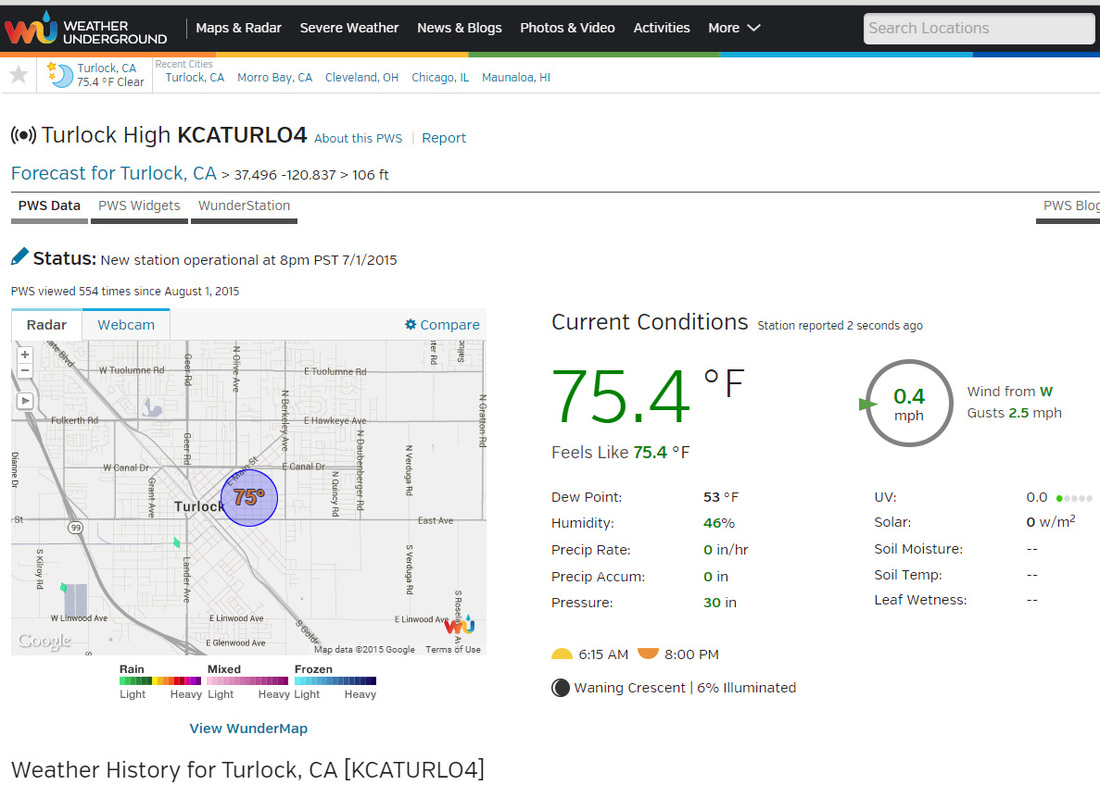
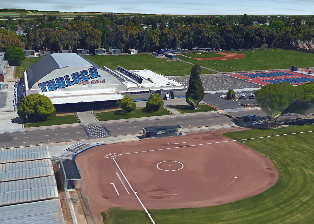
WebsitesWeather-RelatedTurlock Weather Station DataWeather Underground provides a convenient portal to upload the weather data from my backyard station and provides amazing forecasts.
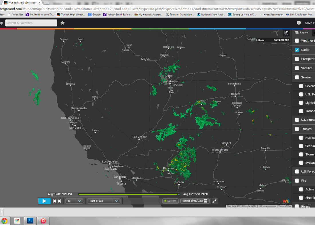
WunderMap Interactive RadarThe best free interactive radar site on the web. Highly customizable layers with options to see a lot of cool layers like hurricanes and fires.
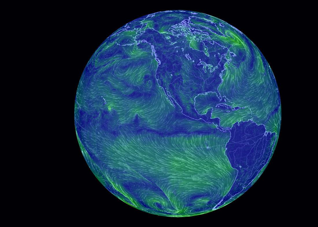
Earth VisualizerA visualization of global weather conditions forecast by supercomputers updated every three hours
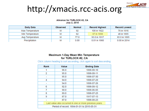
xmACIS2
Weather and Climate History for most weather stations in the US. Run by NOAA Climate Central.
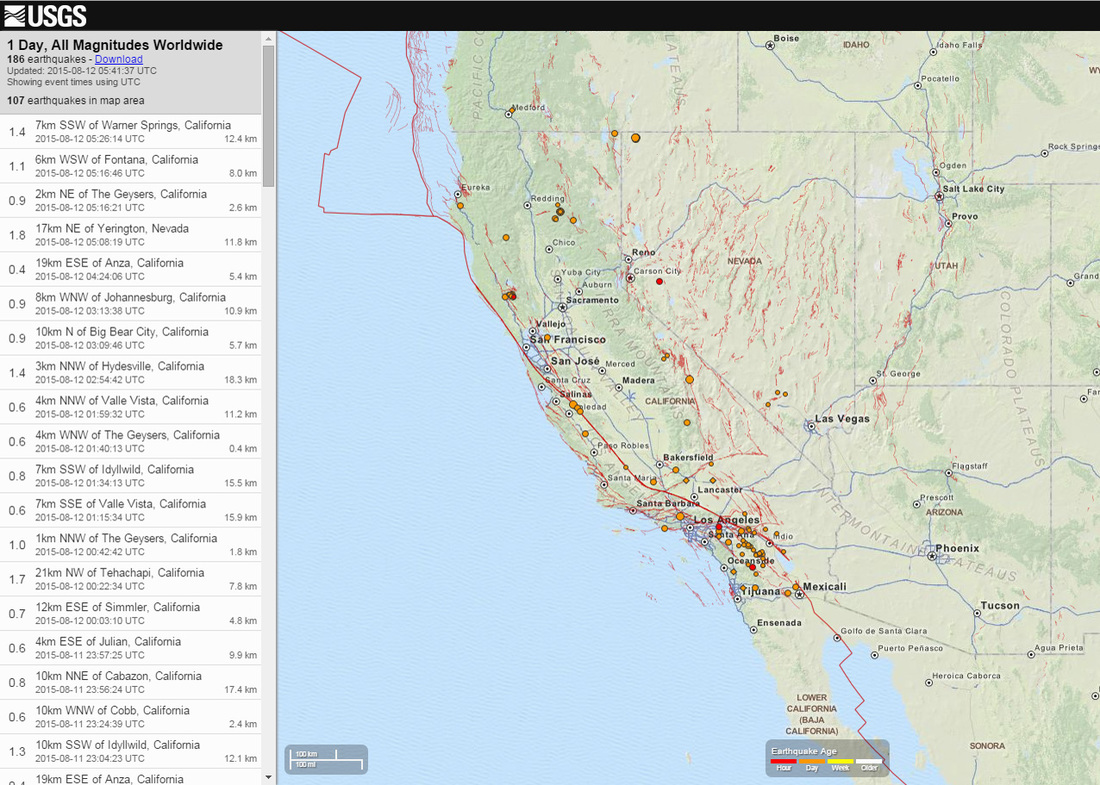
Geology RelatedUSGS Recent QuakesView every earthquake that's happened in the past seven days around the world. Click on the earthquake to view scientific data.
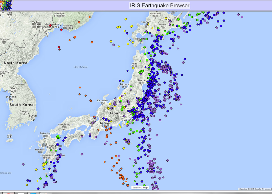
IRIS Earthquake Browser in 3DSimilar to the USGS quakes site, but can plot up to 1000 historical earthquakes' size and depth in an interactive 3D model. This is very useful for seeing subduction zones.
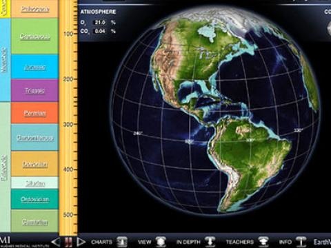
Paleo EarthViewerWhat did Earth look like 250 million years ago? Or 1 billion years ago? Or 4.5 billion years ago? What was the climate like in the deep past?
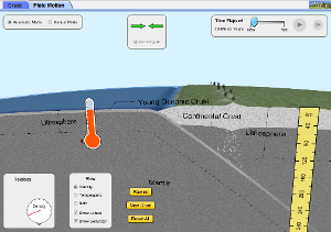
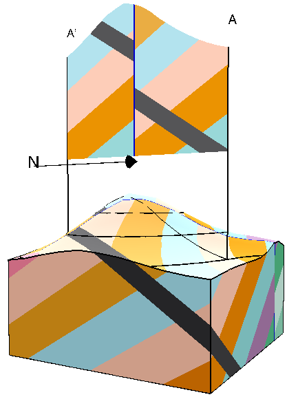
Find the answers with EarthViewer, an interactive tool for exploring the science of Earth's deep history. From molten mass to snowball earth, EarthViewer lets you see continents grow and shift as you scroll through billions of years. Additional layers let you and your students explore changes in atmospheric composition, temperature, biodiversity, day length, and solar luminosity over deep time. Plate Tectonic Interactive SimulationExplore how plates move on the surface of the earth. Change temperature, composition, and thickness of plates. Discover how to create new mountains, volcanoes, or oceans!
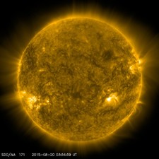
Astronomy RelatedSolar Dynamic ObservatoryA live view of the sun in many different wavelengths of light. "SDO studies how solar activity is created and how Space Weather comes from that activity. Measurements of the interior of the Sun, the Sun's magnetic field, the hot plasma of the solar corona, and the irradiance that creates the ionospheres of the planets are the primary data products".
Service TwoLorem ipsum dolor sit amet, consectetur adipisicing elit, sed do eiusmod tempor incididunt ut labore et dolore magna aliqua. Ut enim ad minim veniam.
Lorem ipsum dolor sit amet, consectetur adipisicing elit, sed do eiusmod tempor incididunt ut labore et dolore magna aliqua. Ut enim ad minim veniam.
|
iPhone AppsWeather-RelatedRadar Scope"RadarScope is a specialized display utility for weather enthusiasts and meteorologists that allows you view NEXRAD Level 3 and super resolution radar data along with Tornado, Severe Thunderstorm, Flash Flood Warnings, and predicted storm tracks issued by the US National Weather Service."
Weather Underground"Weather Underground for iPhone, iPad, and Apple Watch is your everything weather app." It also contains the data from my personal weather station.
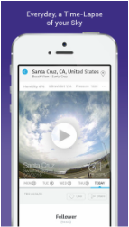
Bloomsky"Every day, receive a time-lapse of your sky.
View real-time photos of the sky to learn more about your weather." This station is placed on my chimney. Service TwoService TwoLorem ipsum dolor sit amet, consectetur adipisicing elit, sed do eiusmod tempor incididunt ut labore et dolore magna aliqua. Ut enim ad minim veniam.
Geology Apps |
Programs for ComputersGoogle EarthView satellite imagery, maps, terrain, 3D buildings, galaxies far in space, Mars, Pluto, the Moon and the deepest depths of the ocean. Pro version is now Free!
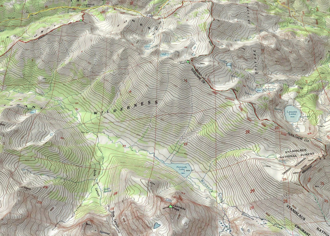
USGS Topo Maps for Google EarthA very cool overlay for Google Earth that shows the USGS Topographic Maps for the entire United States. I use this frequently to plan hikes. .
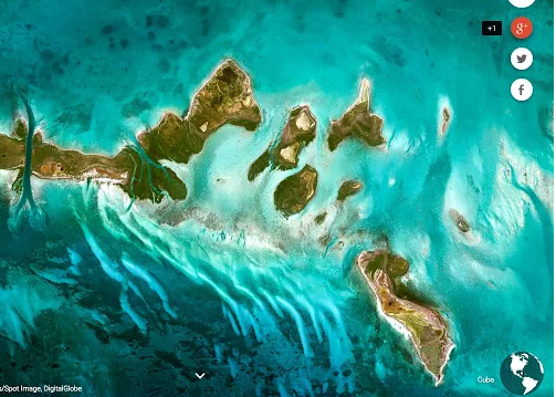
Earth View Chrome ExtensionEvery time you open a new tab in the Chrome web browser a beautiful, randomly selected satellite view paints the background.
|
